


Phoenix | Pilots Plus
Islamabad
The Challenge | Pilots Plus
Provide private aircraft pilots and passengers with an easy-to-use tool that gives information about the land underneath their flight plans.
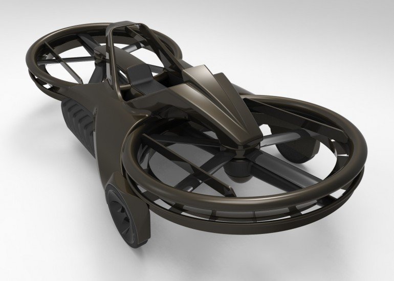
Hover bike realtime-flight feasibility analysis based on vehicle's design specifications and flight path atmospheric model
Video could not be embeded. Watch Here
Here, hoverbike is basically a multirotorcraft which flies at an altitude of 5 to 25 feet. The project comprises of embedding flight performance analysis as mentioned in project title and it aims at helping people for a better air journey experience.
You may describe in detail about your project, link to resources your team used etc...

SpaceApps is a NASA incubator innovation program.