


Smasapps+ | Pilots Plus
The Challenge | Pilots Plus
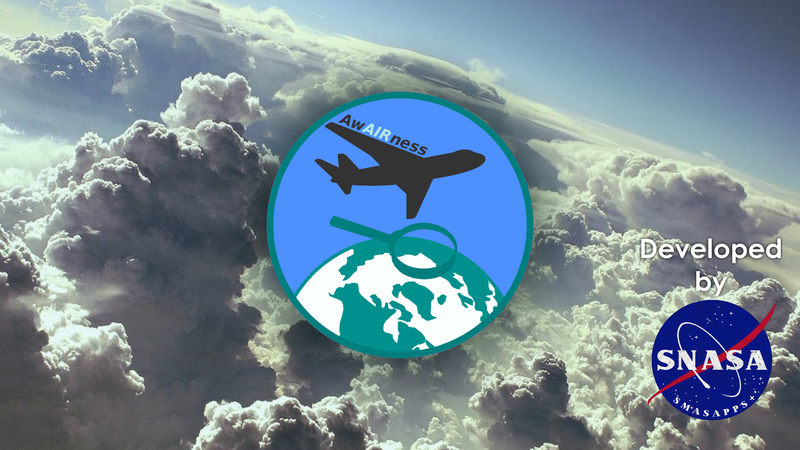
AwAIRness
Discover what lies underneath you while on your flight.
We decided to take on this challenge to teach people more about the world we live in.
This tool takes advantage of the IFE (In Flight Entertainment), which are simply the monitors on the plane seats. It is written using techonologies such as HTML, CSS, JS and JQuery, which allow a rapid expansion on other devices too, like smartphones and laptops.
Using GET requests, we get the data about the points of interest around the plane so we can show them on the screen, along side some information and a picture of the POI.
The biggest challenge we encountered was getting the data from locations nearby, but we managed to solve it using Google Maps Places and Geonames API.
This was our first Nasa Spaceapps Challenge, but we managed to get through it and create an excellent tool following the guidelines.
The source code is avaiable here.

SpaceApps is a NASA incubator innovation program.