


Stereoscopic Pilots | Pilots Plus
The Challenge | Pilots Plus
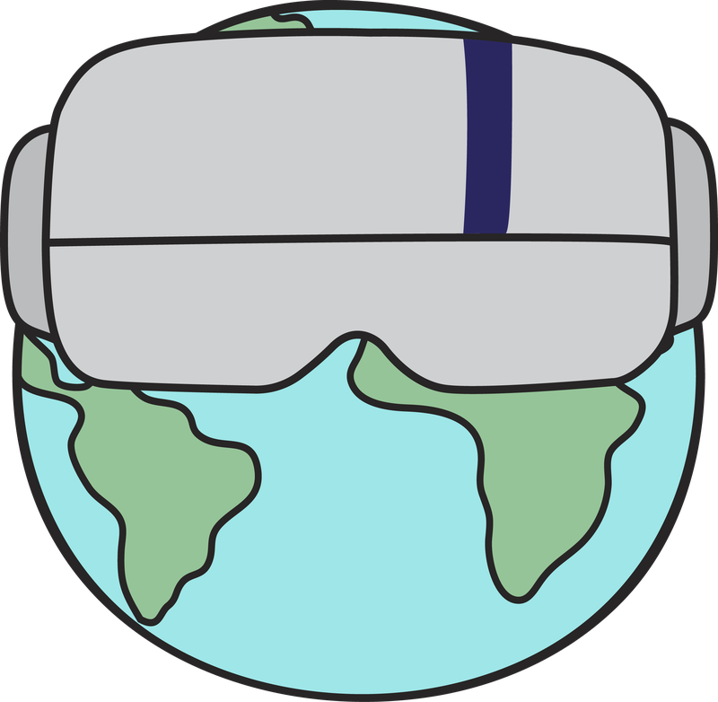
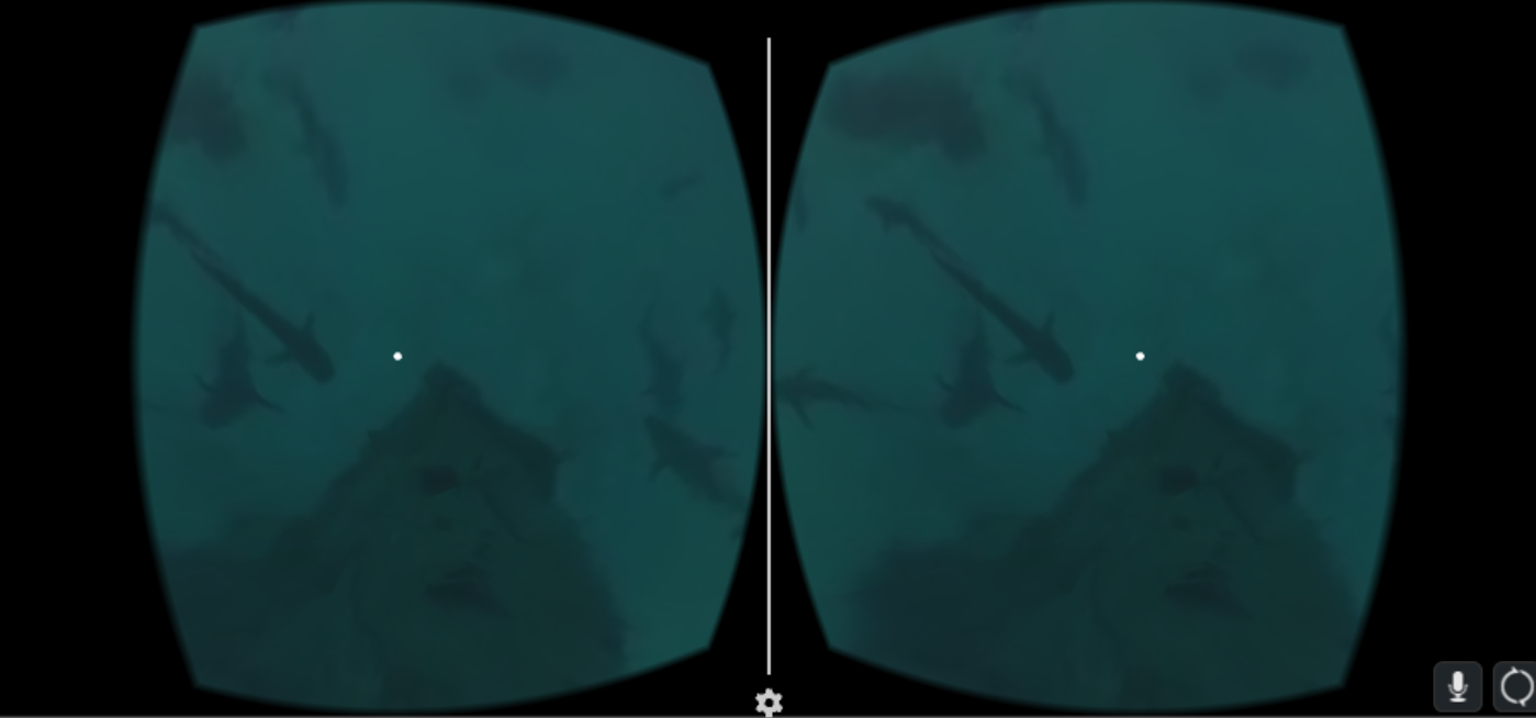
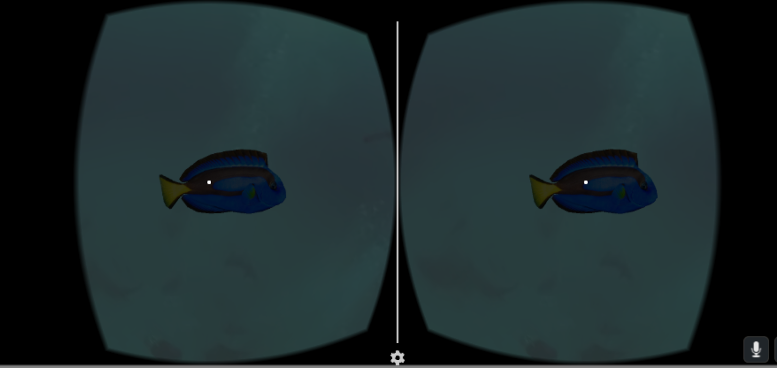
VR Discovery
A VR Discovery designed for identify geographic, natural, and cultural locations of interest along the flight path which help pilots and passengers to enjoy the journey and explore the places they pass.
The project basically based on building an application that uses Virtual Reality (VR) glasses. It works either by using the voice recognition, or by touch mode.
“VR Discovery” provide the users to explore the route they're taking over and over, they can learn about the oceans, earth, animals, and natural disasters of the current location.
It is worth to be mentioned this idea will provide a first class entertainment for all the plane passengers with a lower cost, if used instead of the seats screens.
The application connected via wireless technology.
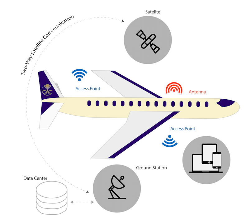
In addition, voice commands can be used as an input, where VR Glasses responds.
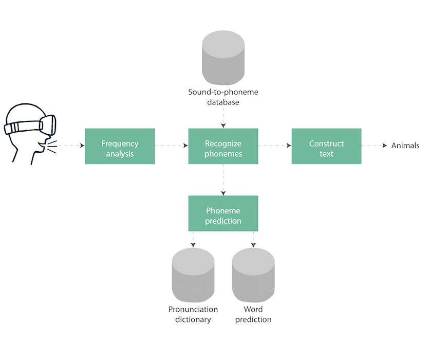
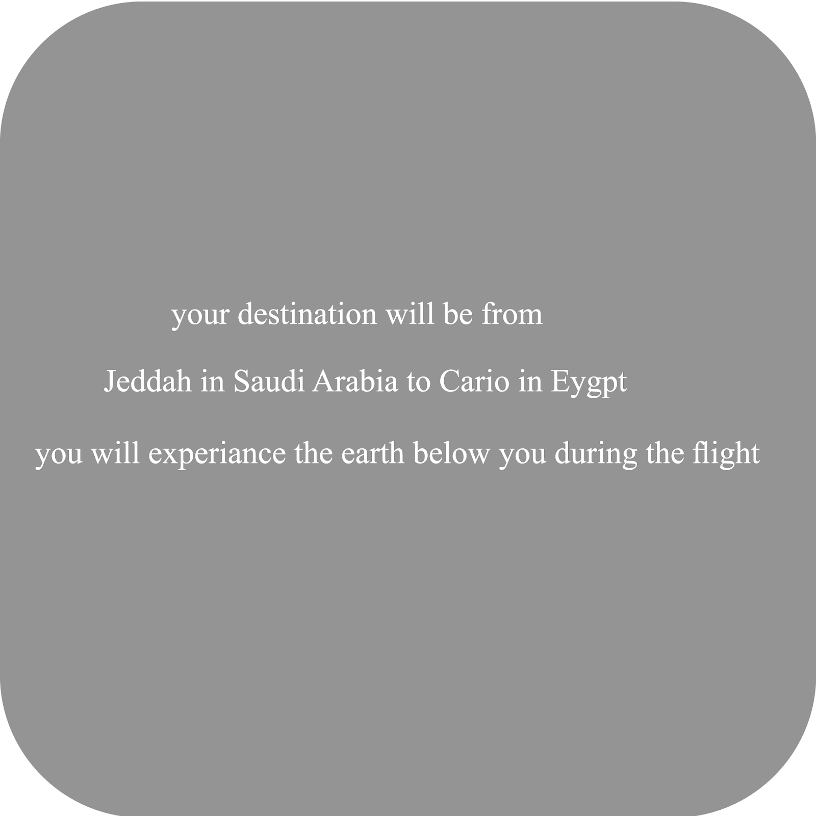
The demo that we made is for a flight from Jeddah, Saudi Arabia to Cairo, Egypt, and exploring the reptile and fishes of the area according to the database that we found and create.
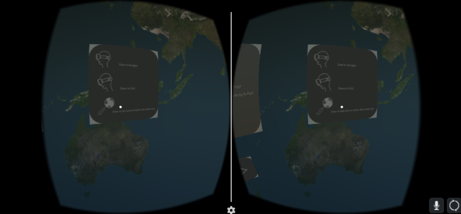
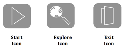
User Interface
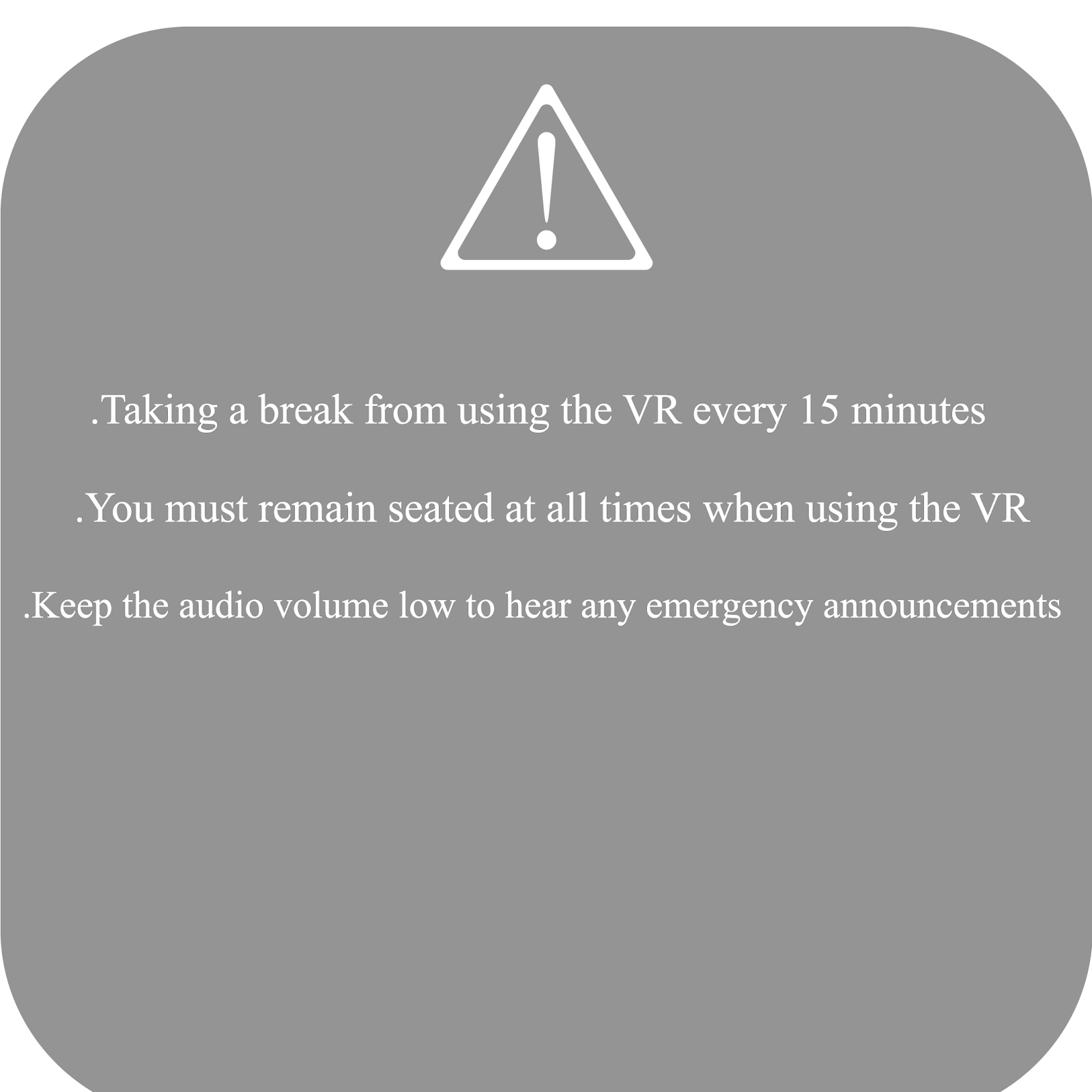
Safety Warning
Application Instructions
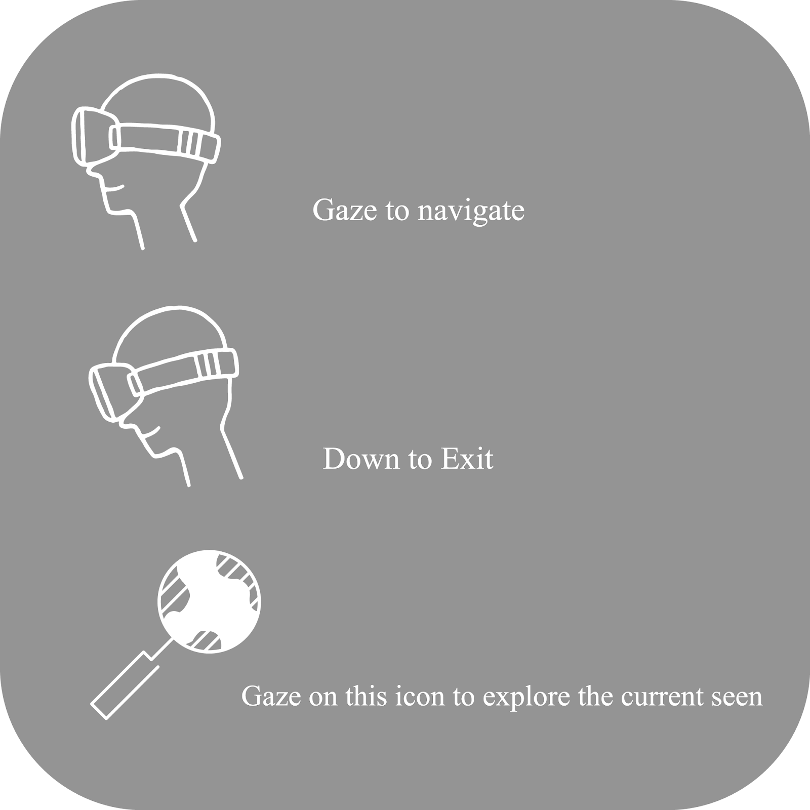
Flight Info
Platforms:
The application will be deployed on both IOS and Android.
Software Used:
1. Unity 3D
We used Unity development platform since it is a free and open source.
2. 3Ds Max
This software was used to create the 3D assets for the application.
3. Photoshop CC 2017
This software was used to create the 2D assets.
4. Illustrator CC 2017
This software was used to create the 2D assets.
App flow:
The application will start by showing the user the instructions and warnings, after that the user will be enter to the 3D scene where the user will be able to explore more things related to the area where he/she is at based on current location. Some locations will have 3D videos, others will have 2D images and textual information.
Features:
- Virtual Reality Service
- Voice Recognition Control
- Smartphone Application
- Open API for developers
Future planning:
- Using Augmented Reality (AR) for Landmarks what is being underneath the flight.
- Playing games.
- Adding more data (such as: culture, current events).
- Airplanes build-in VR glasses.
The Resources
APK Code:
https://docs.unity3d.com/Manual/index.html
Data:
http://amphibiaweb.org/cgi/amphib_ws_locality?where-isocc=eg&rel-isocc=like
http://www.geonames.org/export/ws-overview.html
http://earthquaketrack.com/p/egypt/biggest
http://www.fishbase.org/summary/4740
Source Code:
https://drive.google.com/open?id=0B8B9SDB02jw1dnNOQkI0YWg1YU0
Voice Recognition:
https://github.com/afauch/wit3d
https://www.assetstore.unity3d.com/en/#!/content/69399

SpaceApps is a NASA incubator innovation program.