


Virtual Space Exploration | Space Jockey
Awards & Nominations
Virtual Space Exploration has received the following awards and nominations. Way to go!
The Challenge | Space Jockey
Virtual Space Exploration
This application helps understand how Earth, satellites and other space instruments look from the satellite. we can see the orbit, satellites, space debris and instruments data.
Background:
Since now, there are lot of general people who are facing problems finding out data and information given by different space probes and earth observing satellites. Lot of researchers, students and enthusiasts try to experience the tour to the space, but real tour is too much expensive and hence not practical to everybody. So we tried to make an application that helps us virtually ride abroad one of the earth observing satellites and collect data and information from there.
Challenges and Features of project:
- Graphical representation of Current position of satellites
- Graphical representation of satellite orbital
- Information given by different instruments of the satellite
- Beautiful view of Earth from/with satellite
- Beautiful view of moon changing its position and phase
- Beautiful view of sunrise with halo
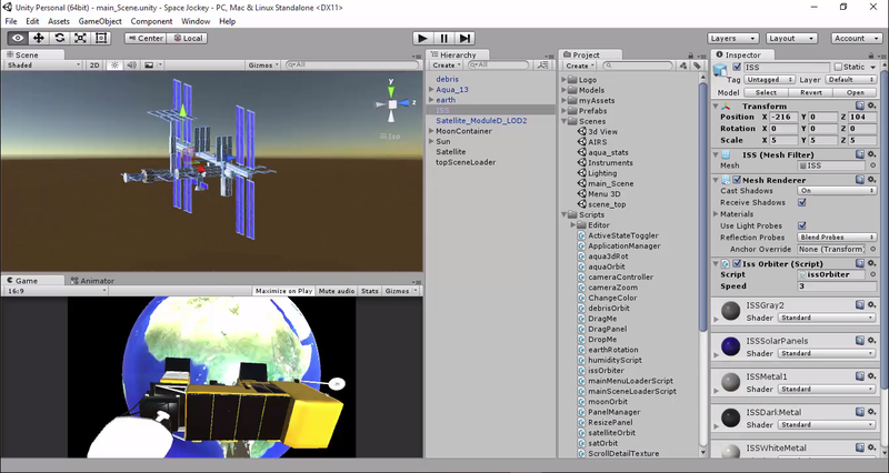
- View of International space station [ISS] and Space debris
- Transit of other satellite and ISS
Areas of benefit after implementation of the project
- Global satellite database access systems can be made so that general people, researchers, Enthusiasts and Educators will be able to get information about instruments at any time
- With the help of virtual tour to the satellite, educators and teaching professionals will be able to teach more effectively.
- If System is made to access real time data then early warning system can be easily implemented for natural disasters
- Calculation of stability of satellites can easily be performed before launching it which saves both time and huge amount of economical resources
Further enhancements
- If we get chance to access the real time instrument data and information, then this project can be made more powerful with the features such as web access of live instruments data.
- By virtually looking around the satellite, we can observe and predict falling asteroids and meteoroids so that respective agency can take wise decision at right time
- Next generation satellites can be made more efficient by adding features of virtual repairing and debugging of instruments
List of resources used for the project:
- NASA Jet Propulsion Laboratory (JPL) has provided us link for the 3D model of Aqua satellite with its materials. International space station was downloaded from the same resources provided by the NASA Jet Propulsion Laboratory. https://nasa3d.arc.nasa.gov/models
- Unwrapped UV image material used as the Earth in the project was provided by photobucket and keywordhut http://www.keywordhut.com/c3RhbmRhcmQgZmxhdCBlYXJ0aCBtYXA
- User Interface for the application was designed by taking reference from Unity samples: UI of Unity assets store.
- modular satellite and space station parts were taken from Unity assets store
https://www.assetstore.unity3d.com/en/#!/content/25468
https://www.assetstore.unity3d.com/en/#!/content/72784

SpaceApps is a NASA incubator innovation program.