


GeoZoning | Our Planet, Our Home
The Challenge | Our Planet, Our Home
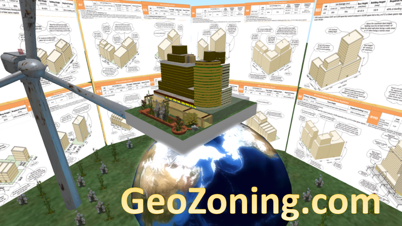
Geozoning
A Sustainable Land Management Methodology and Framework to include satellite images and data on Land Used Decision Making Process Around the World. Helping save forest, land used for food production.
For all communities to improve Land Degradation around the world
•Fertile soils are an essential building block for human existence on Earth. The degradation of soils and land, in this regard, poses significant challenges for the well-being and food security of all the people around the world.
•Land degradation is occurring in almost all terrestrial biomes and agro-ecologies. Despite the severe impact of land degradation and the crucial role that land plays in human welfare and development, investments in sustainable land management (SLM) are low, especially in developing countries.
Economics of Land Degradation
•Land degradation stretches to about 30 % of the total global land area and about three billion people reside in degraded lands.
•The annual global cost of land degradation due to land use/cover change (LUCC) and using land degrading management practices on static cropland and grazing land is about 300 billion USD.
•Forest serve as the biggest terrestrial carbon sink as they store about 861 petragrams of Carbon (PgC).
•Grassland covers 17 % of the land area.
•Cropland is the second largest biome as it covers 23 % of land area.
•Bare Lands Covering about 7 % of the land area, bare land has exposed soil, sand or rocks, with less than 10 % vegetative cover throughout the year. This includes the deserts and degraded lands.
What data and technology tools can be used to catalyze sustainable land management (SLM) actions?
•Global Inventory Modelling and Mapping Studies (GIMMS) dataset of 64 km2-resolution of Normalized Difference Vegetation Index (NDVI) data.
•Moderate Resolution Imaging Spectroradiometer (MODIS), Advanced Very High Resolution Radiometer (AVHRR), and Landsat satellite sensors
•The Food and Agriculture Organization (FAO), Global Assessment of Land Degradation and Improvement (GLADA). The Global Land Degradation Information System (GLADIS)

SpaceApps is a NASA incubator innovation program.