


Keep Calm | Trace Invaders
Awards & Nominations
Keep Calm has received the following awards and nominations. Way to go!
The Challenge | Trace Invaders
TraceRagweed
System for efficient detection and monitoring of ragweed was developed. It uses power of remote sensing and crowdsourcing to fight ragweed. App shows detected ragweed on map, gathered from remote sensing and from users by crowdsourcing.
Background
Ragweed is annual plant that emerges in late spring. It is much-branched and grows up to 1 meter in height. It is native plant of North America from where is imported to Europe probably by contaminated seed. Its pollen is wind spreaded and can be a strong allergen. According to some sources, 10 % of population is allergic to that plant.
Rageweed is also very competitive weed and can produce yield losses. According to some research, yield losses in soyabeans can be as high as 40 %.
As previously mentioned, ragweed represents a big problem and should be addressed in a new and innovative way to suppress it.
Resources
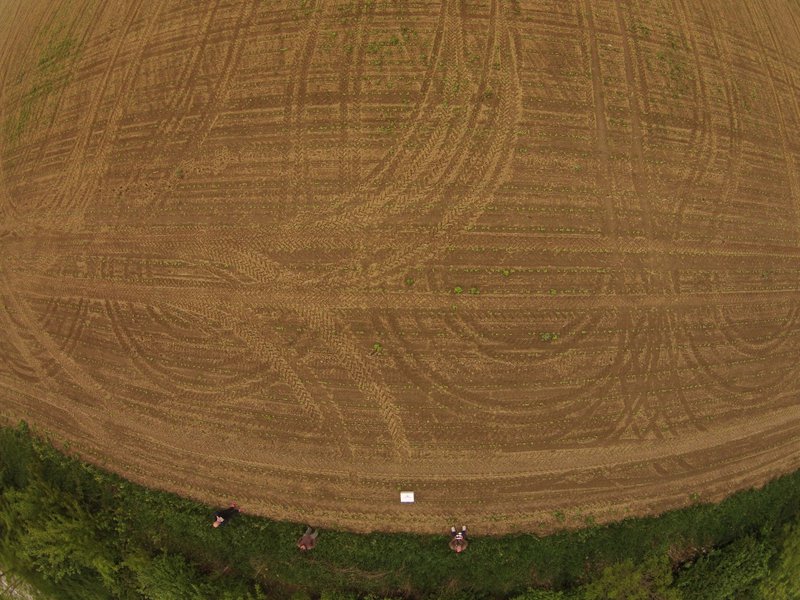
Used resources are the images obtained with drone in the field nearby the place where we are stationed. As we didn't get access to satellite imagery, drone images were used. Software was developed using following technologies: ASP.NET, Python.
Challenges faced
Goal of this project is to develop a system for efficient detection and monitoring of ragweed using remote sensing and crowdsourcing. With advance of technology, satellite imagery becomes more and more available. Besides that crowdsourcing also becomes very spreaded as more and more people use smart phones.
One of the problems we faced is difficulty to detect ragweed on images obtained in visible part of the spectra. Hyperspectral images weren't available to us in the time of hackahton, but we are sure that in the future that issue will be resolved.
Solution
Developed app consist of two parts we tried to unite:
- Remote sensing – ragweed detection on larger areas
On the larger areas it is hard to detect ragweed from ground. In that case, satellite images and drones should be used, preferably equipped with hyperspectral cameras.
In app, we used images obtained with drone. Aim is to segment image and extract parts covered with ragweed. As already mentioned, using images in visible part of spectra it is hard to detect ragweed. Hyperspectral images should be used, but they weren't available to us. One of the future steps will be integration of hyperspectral satellite images into application. Segmentation based on spectral profile of the plant should be performed.
All images used in project are georeferenced and shown in application on map. From map we can see the distribution of ragweed on certain area.
- Crowdsourcing – ragweed detection on smaller area
On smaller areas, covered with just a few plants at location, it is very hard to detect ragweed from aerial photos. In this case we use crowdsourcing. Users of the app can take photos, record location and time where the ragweed was found. Detected plants are added to maps and visible to all other users of the app.
In the end, our goal is to get well-mapped areas covered with ragweed. App is aimed to all people alergic to ragweed pollen. They can see the areas with high concentration of pollen. Besides that, app would be useful to farmers and services to fight and suppress ragweed more efficiently.
App video demonstration
Future work
In the future we are planning to use hyperspectral images, in order to segment image and detect ragweed more efficiently. Also, we plan to add more options to app, such as meteorological data. Using the wind speed and direction data we plan to predict where the pollen would spread. All those data will be visualized using maps.

SpaceApps is a NASA incubator innovation program.