


Fly4Ice | Icy Polar Opposites
Team Updates
EXPLANATION
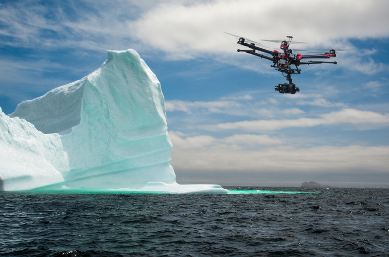
Our project is based on a bounded drone, used to monitor salient zone in poles for looking for melting glaciers.
SUMMARY
Our project is an alternative way to monitor glaciers, in particular the project of the drone is studied to be performed on Polynyas area, but can work in many other Pole zones.
SAVE THE PLANET
Our world is changing, glaciers are melting. It's harder to find a good intervention strategy because actual recovery data from Satellites has some limits:
1)Optical sensor can work only in good weather condition;
2)Microwave sensor has bad spacial resolution for monitoring small changes of outline of the glaciers;
Use a satellitary imaging has an other big problem: THE REVISIT TIME.
3)In order to obtain more satellite images of the same area it requires too much time for daily monitoring.
Our purposes is to use a drone equipped with a SAR sensor, that works with:
1)All-weather condition;
2)High revisit time(real time imaging).
The limits of use a Drone are:
1)Low autonomy (About 15');
2)Bad data transfer speed during the fly.
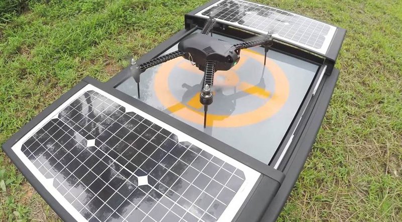
For these reason we have designed a BOUNDED DRONE linked to a based platform that has the following advantages:
1)Potential infinite autonomy thanks to the powering of Solar Panels;
2)High speed data transfer thanks to the use of a Fiber Optic cable;
3)All other advantages of using a common Drone.
OTHER PURPOSES
Our drone can be used in a lot of other applications, for example monitoring....
... Desertification areas;
... Risky built areas;
... futher possible application.

SpaceApps is a NASA incubator innovation program.