


team W | Water, Water, Everywhere!
Awards & Nominations
team W has received the following awards and nominations. Way to go!
The Challenge | Water, Water, Everywhere!
Poseidons Calm
Poseidon's Calm helps us understand the nature of water by measuring the data from our surroundings in real time and make the most efficient decisions when danger strikes.
A flood occurred in Bosnia and Herzegovina back in 2014., when the water levels of rivers rose rapidly. This was a disaster, as the majority of the population was not prepared. Our idea helps people react on time, evacuate if needed, and keeps the government one step ahead.
The observation :
- There are around 30 rivers flowing through Bosnia and Herzegovina, and most of them flooded the areas around them at one time.
- The biggest disaster in the last few decades was back in 2014.
- The lack of information and effectiveness resulted in the deaths of thousands of people.
- The main reason why hazardous areas are created is the number of forests being cut down and industrial zones being built next to rivers.
Click here to see things described earlier.
Questions : CONTACTING COMPETENT TEAMS BASED ON THE GATHERED INFORMATION FROM THE FIRST TWO STEPS I THEIR POTENTIAL SOLUTION
- Can we predict floods before the water reaches its critical level ?
- Can we expand our idea outside of Bosnia and Herzegovina ?
Idea :
GATHERING DATA AND ANALYZING CRISIS / POTENTIALLY DANGEROUS LOCATIONS, USING NASA'S SATELLITE DATA
- Analyze watercourses, other water bodies and their dynamics
- Using the pattern, create an algorithm which calculates the risk of flooding in a specific area
RELEVANT DATA :
- The most common times of rainfall
- Quantity of rainfall
- Depth of the river/water
- Allow users insight on current information in the specific region
CREATE A PLATFORM WHICH WILL ALLOW THE DISPLAY OF WATER LEVELS REAL TIME AND CROWDSOURCED
- Placing sensors on critical locations
- A web platform will display the current state
- Data gathered with the sensor and crowdsourcing are sent to the web platform
CONTACTING COMPETENT TEAMS BASED ON THE GATHERED INFORMATION FROM THE FIRST TWO STEPS AND THEIR POTENTAL SOLUTION
- In case of an alarming state, a warning is sent to public services and their help is requested
- Further solving of the problem is taken care of by the goverment.
Progress made :
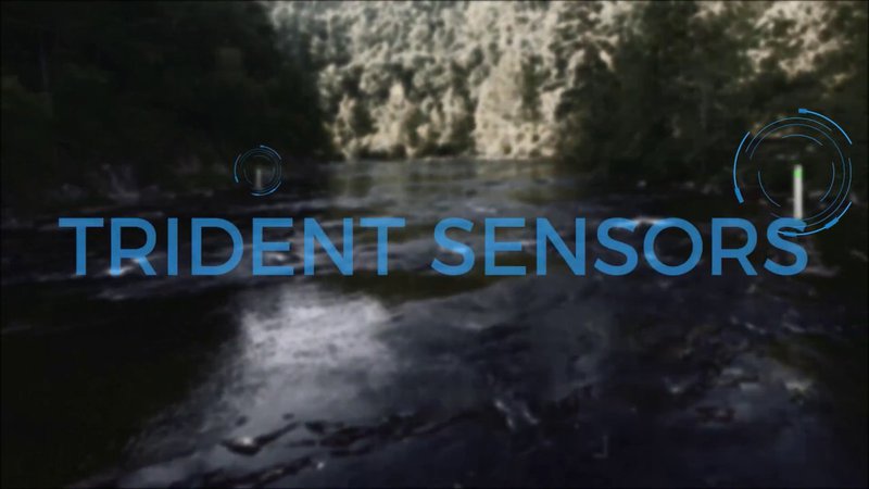
- Prototype of the Trident sensor. Blueprints available here.
- Web platform to store data about the water level, such as locations of drinkable and contaminated water as well as contaminated and hazardous areas.
- Analyzed areas using LandsatLook. Areas with huge risk of being flooded near Tuzla marked here.
Future perspectives :
- Improving our Web platform
- Implementing and testing in real environment
Team Repository :
https://github.com/TheDemaGuru/NasaSpaceAppsChallenge2017

SpaceApps is a NASA incubator innovation program.