


TECH₂0 | Where's the Water?
Awards & Nominations
TECH₂0 has received the following awards and nominations. Way to go!
The Challenge | Where's the Water?
TECH₂0
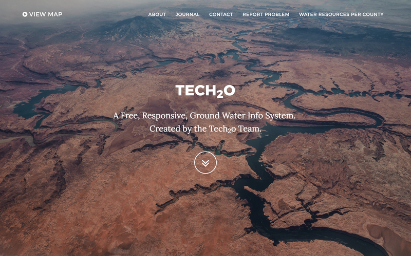
TecH₂O is a web app that utilizes satellite and crowd-sourced data to avail realtime information on fluctuating water levels across the globe.
As a result of climate change - specifically global warming - sea levels have risen drastically over the past ten years and droughts have become worse.
(Sea Level, 2017, May 4th, Fact retrieved from https://climate.nasa.gov/vital
According to an article on https://climate.nasa.gov/effec
Therefore, in order to mitigate the potential negative future effects of global climate change, monitoring fluctuating water levels is essential. This is where our app - TecH₂O - comes in.
TecH₂O is a web app that utilizes satellite and crowd-sourced data to avail realtime information on fluctuating water levels across the globe.
Potential Uses of TecH₂O
1. Governments can use TecH₂O to monitor their countries fluctuating water levels and water trends in turn predict potential occurrence of droughts/floods/tsunamis thus prepare plan and mitigate negative effects of these calamities and sending out alert messages to warn its citizens of potential calamities.
2. Water institutions such as National Water Conservation and Pipeline Cooperation in Kenya who are in charge of putting up water structures (e.g. dams) can use TecH₂O to monitor the latter's water levels. For instance, if the water level dropped below a specified level, they would be able to receive a notification via our app. At this point they could then use data on TecH₂O to locate potential areas to put up alternative water sources e.g boreholes.
3. Residents are able to use our mobile app to report water-related issues, e.g. burst water pipes, or request information such as alternative water sources if there is a water shortage in a particular area.
4. Through crowd sourcing people can contribute potential methods of water conservation and resource management which would also assist in addressing the Sustainable Development Goals (SDGs) set out by the United Nations Development Programme (UNDP);
Goal 6.5: By 2030, implement integrated water resources management at all levels, including through transboundary cooperation as appropriate.
Goal 6.6: By 2020, protect and restore water-related ecosystems, including mountains, forests, wetlands, rivers, aquifers and lakes.

SpaceApps is a NASA incubator innovation program.