


RedLeet | And YOU can Help Fight Fires!
Awards & Nominations
RedLeet has received the following awards and nominations. Way to go!
The Challenge | And YOU can Help Fight Fires!
LEOTIS
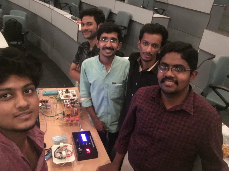
LEOTIS is an open source Cube-Sat array to help fight forest fire. It can detect and track forest fires and alert local public through nodal stations. Public can also share events of uncontrolled fire though the companion app.
Fires occur on every continent except Antarctica. They can occur naturally, but many are caused by humans, accidentally or deliberately.
Fire poses hazards to life and property, atmospheric pollution, and water contamination. Fire removes protective vegetation, heavy rainfallmay lead to an increase in soil erosion by water. Also, when vegetation is burned, the nitrogenit contains is released into the atmosphere. This loss of nitrogen caused by a fire produces a long-term reduction in the fertility of the soil. The long term effects include, less vegetation leading to Global Warming and the annihilation of life as we know it.
The challenge is to how to identify fire before spreading, finding the best path for escape as well as for emergency services to reach the vicinity. That is where our Solution kicks in. LEOTIS an acronym for Low Earth Orbit Thermal Imaging System, is a version of Cubesat including multiple sensors for accurate forecasting of fire and geographic mapping of terrain for emergency services. LEOTIS includes state of the art thermal imaging system, which when put into LEO (Low Earth Orbit), starts scanning for possible heat signatures of significant magnitude. The raster scanning (of high vertical as well as horizontal frequency) technique incorporated helps to identify and map fire signatures in Near Real Time(NRT). As soon as a fire signature of significant threshold is identified, the telemetry and control unit in LEOTIS relays back the latitude and longitude of the fire to Nodal stations. The nodal station broadcasts to emergency services as well as to media and general public. We have also developed a client side application which helps to get direct feed from nodal stations, which maps the position of fire, possibility of fire spread, and the routes for evacuation and emergency services. Since LEOTIS incorporates multiple sensors, the possibility of further developments stands open. It can map possibilities for weather changes, landsides, earthquakes, and early warnings for other natural calamities. What we have aimed is an open source platform where developers can contribute to, thus including crowd-sourcing and further development options, thus exploiting the capabilities of LEOTIS to the fullest.

SpaceApps is a NASA incubator innovation program.