


Drop the Drought | Our Planet, Our Home
Awards & Nominations
Drop the Drought has received the following awards and nominations. Way to go!
The Challenge | Our Planet, Our Home
Drop the Drought!
Simulating Land, Vegetation and Human Settlement data from NASA satellites to predict droughts and migration. Prevents droughts from turning to famines - saving lives globally and ensuring children stay in school and not become climate refugees
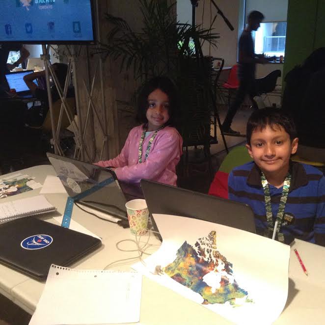
Family Team: Artash Nath (10 years) and Vikas Nath
The Problem:
Climate Change is causing droughts to happen more frequently, and they are spreading to newer places. People, property and livestock are at risk, and more so in countries where majority of people are dependent on rain-fed agriculture and cattle rearing for their living.
Our Solution:
It is normal for droughts to happen. But with eyes in the sky (Earth-orbiting satellites) it is not-normal to not see them coming in advance. With 20 years of satellite data available on normalized difference vegetation index (NDVI) for every region of the world, it is possible to compare existing data with real-time data. We can then predict where droughts are likely to happen and migration that may occur.
The advance warning will give time to act - triggering crop and livestock insurance and relief efforts. It will prevent droughts from turning to famine, which cause undue hardships to humans and cattle. It will also ensure that children stay in school instead of becoming climate refugees.
The Science:
Healthy vegetation absorbs most of the visible sunlight and reflects a large portion of the near-infrared light, and have a higher NDVI.(NASA Earth Observatory)
Vegetation under stress reflects more visible light and less-infrared light and have lower NDVI.
Drought conditions are triggered when NDVI is below 70% of the average values.
Data Set:
NASA Satellites: Landsat 8, Terra Modis
NASA Socio-Economic Data and Applications Center (SEDAC): Human Settlements, Population Density
The Methodology:
For the SpaceApps Toronto, we simulated the change in vegetation along the Kenya-Uganda border. We took the land map of the area (from Landsat satellite) and overlaid it with the Vegetation data (from the Terra Modis Satellite). We then added two additional layers: Human Settlements (data taken from the NASA-SEDAC centre) and the Population Density.
We analysed 7 months of NDVI data (October 2016 - April 2017) from the Terra Modis satellite by noting down the changes in vegetation index every 4-5 days. In all we had 42 readings. We also collected the 15 years average NDVI values of that region.
We used the Stop Motion Pro Simulation package to visually understand how vegetation is changing along the Kenya-Uganda border. At the start of the simulation (October 2016) both Kenya and Uganda had similar NDVI values but by January 2017 they started to differ widely. While the index continued to stay high on the Ugandan side (indicating healthier vegetation) it started to fall rapidly on the Kenyan side (indicating vegetation is under severe stress).Indicators of upcoming droughts in Kenya were clear.
Adding environmental data with socio-economic data allowed us to assess the impact of environmental changes on the local population and model its behaviour.
Conclusion:
By January 2017 it was clear from Drop the Drought simulation that Kenya will face a drought. Furthermore, as bordering Uganda afforded better food and fodder, it was evident that people and cattle in the bordering area will migrate from Kenya to Uganda.
By February 2017, drought was declared in Kenya and migration of people from Kenya to Uganda did ensue in April 2017.
Using Drop the Drought application would have given advance warning and made it possible to provide relief efforts along the Kenya-Uganda border. It would have reduced misery and ensured that children did not have to leave school to migrate.
Future:
Climate change means droughts occur more frequently and will spread to newer places. As more and more people and livestock come under risk of drought, an application such as "Drop the Drought" could provide early warnings and trigger relief efforts, such as payouts of crop and livestock insurance, food and fodder camps etc. This will helps us adapt better to climate change.
Resources Used:
1. Human Settlement Points, v1.01 (1990, 1995, 2000). Global Rural-Urban Mapping Project (GRUMP), Socioeconomic Data and Applications Center (SEDAC), NASA.
http://sedac.ciesin.columbia.edu/data/set/grump-v1...
2. UN-Adjusted Population Density (2000, 2005, 2010, 2015, 2020). Gridded Population of the World (GPW), Socioeconomic Data and Applications Center (SEDAC), NASA.
http://sedac.ciesin.columbia.edu/data/set/gpw-v4-p...
3. Terra / MODIS Satellite Imagery (Real-Time) for Normalized Difference Vegetation Index. WorldView, Earth Observing System Data and Information System (EOSDIS), NASA.
https://worldview.earthdata.nasa.gov/
4. Stop Motion Pro. Visual Simulation Package
5. EOSDIS Worldview
https://worldview.earthdata.nasa.gov

SpaceApps is a NASA incubator innovation program.