


WreckEC | When Landslides Strike
Quito
Team Updates
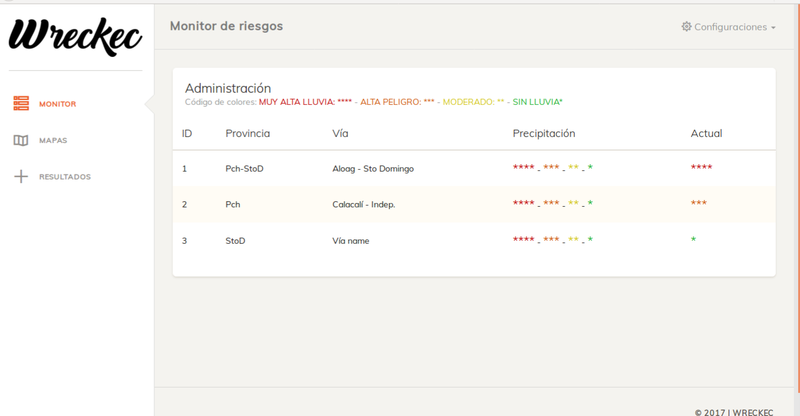
Administración de datos
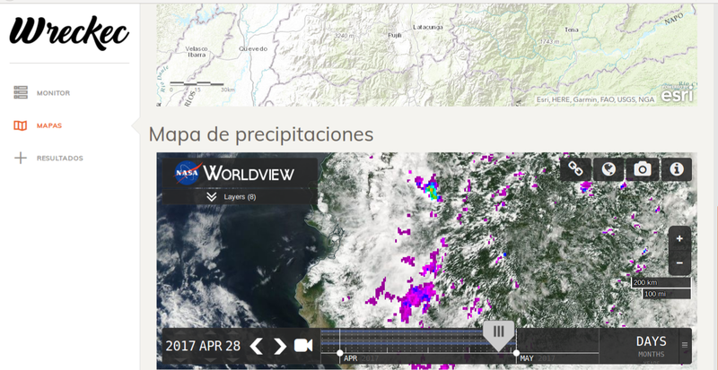
Mapa de precipitaciones (Interfaz gràfica)
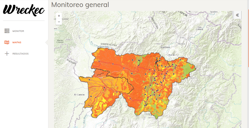
Interzar de monitoreo
| functioniniciar(){ | |
| var boton=document.getElementById('obtener'); | |
| boton.addEventListener('click', obtener, false); | |
| } | |
| functionobtener(){navigator.geolocation.getCurrentPosition(mostrar, gestionarErrores);} | |
| functionmostrar(posicion){ | |
| var ubicacion=document.getElementById('localizacion'); | |
| var datos=''; | |
| datos+='Latitud: '+posicion.coords.latitude+'<br>'; | |
| datos+='Longitud: '+posicion.coords.longitude+'<br>'; | |
| datos+='Exactitud: '+posicion.coords.accuracy+' metros.<br>'; | |
| ubicacion.innerHTML=datos; | |
| } |
Mass landslide early warning system
In order to identify the landslides produced, on the highways (Calacalí - La Independencia and Aloag - Santo Domingo) historically most affected by these natural events, two provinces have been chosen for the start of the project.

SpaceApps is a NASA incubator innovation program.